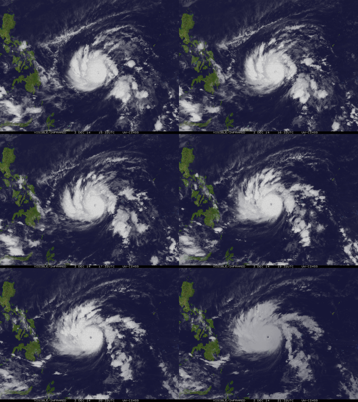
Dec 4: Typhoon Ruby (Hagupit) became a super typhoon on Thursday morning. The latest weather updates of typhoon Hagupit revealed that the cyclone intensified and became a super typhoon reaching over 220 kph of wind and gustness upto 290 kph Several weather agencies were conflicts with their tracks whether which path will Hagupit goes. It will landfall in eastern visayas by December 6-7, 2014.
HAGUPIT now locally named "Ruby" has rapidly intensified into a Super Typhoon as it enters the Philippine Area of Responsibility (PAR)early this morning...increasing its threat to Eastern Philippines particularly Eastern Visayas and Bicol Region this weekend.
Classification/Name: STY Hagupit (Ruby)
Location: Over the southeastern part of the Philippine Sea (near 9.6N 134.4E)
About: 910 km east of Siargao Island...or 1,010 km east-southeast of Borongan City, Eastern Samar
Maximum Sustained Winds (10-min avg): 220 kph near the center...Gustiness: 280 kph
24 hr. Rain Accumulation (near and west of the center): 100 to 300 mm [Heavy to Extreme]
Minimum Central Pressure: 926 millibars (hPa)
Size of Circulation [Convective Cloud-Based, in diameter]: 990 km (Medium)
Area of Damaging Winds (95 kph or more): 95 km from the Center
Past Movement: West-Northwest @ 31 kph
Forecast Movement: West-Northwest @ 21 kph
Towards: Philippine Sea